Seagreen – SSE
October 27, 2025
Aremark Sør – Hafslund
October 27, 2025Statnett Hårstad – Statnett
Client: Stanett
Year: 2024
Country: Norway
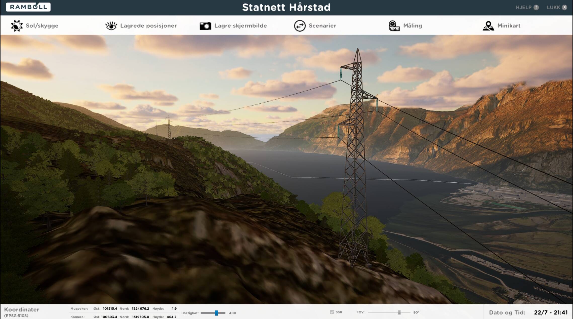
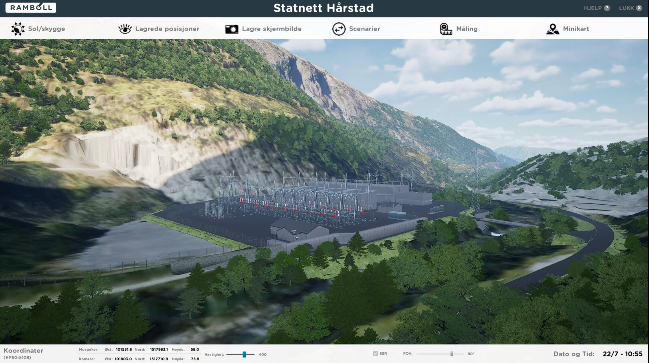
We developed a high‑fidelity digital twin of the project area and surroundings to support design, communication, and permitting. The terrain was triangulated and refined with FKB data for accurate road and flat-surface definition; existing buildings were reconstructed from public LiDAR, and aerial imagery was draped for recognizability. Trees were generated from laser data with species distribution set from measured inputs. Before publication, the project model was processed and filtered to remove confidential information.
Our role was Visualization Specialist. We set up the digital twin environment and handled model management and confidentiality-based filtering. The outcome was stronger internal project understanding, clearer external communication, and a more robust basis for the concession application.
Here are some pictures from the Ramboll Interactive platform: